
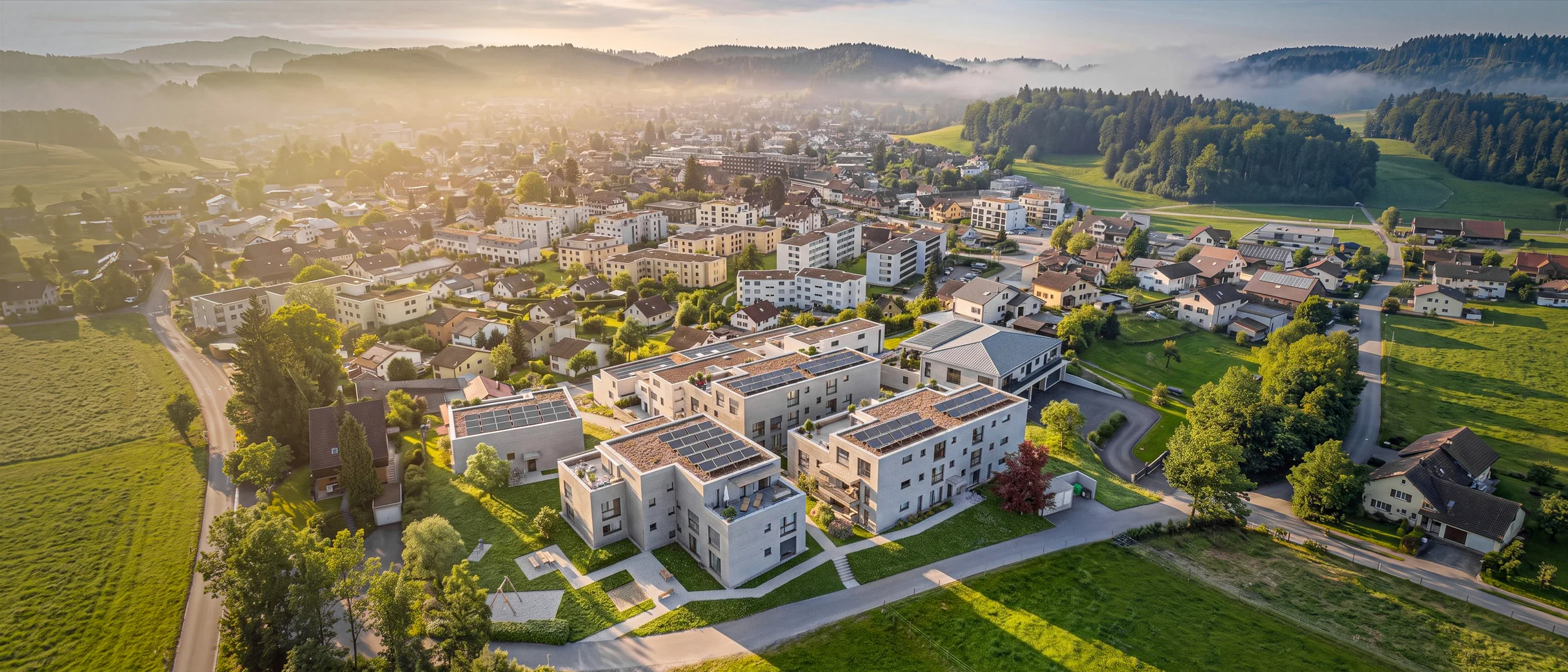
BIRD-EYE VISUALISATION
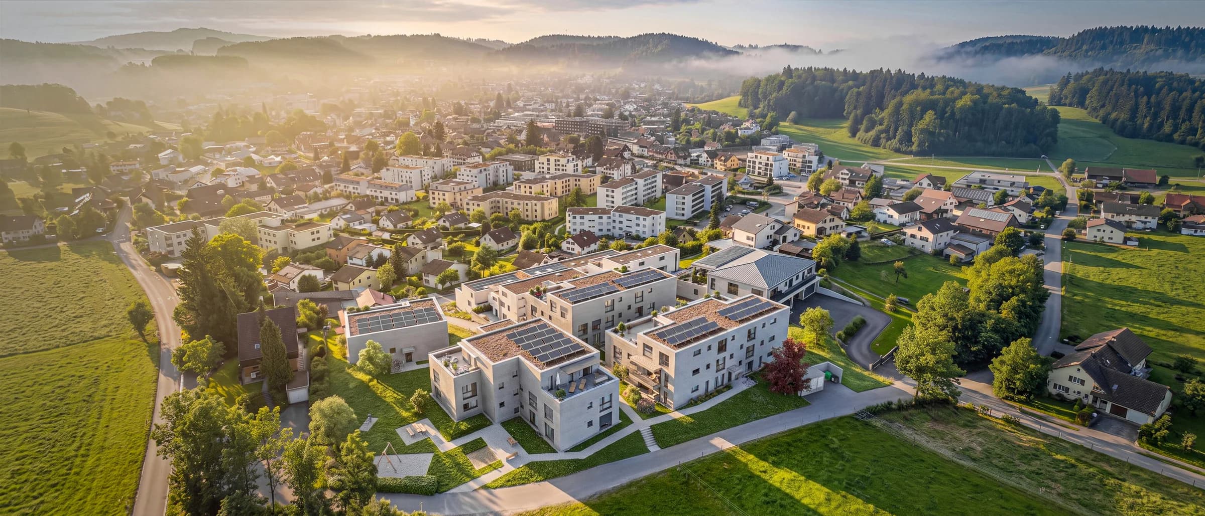
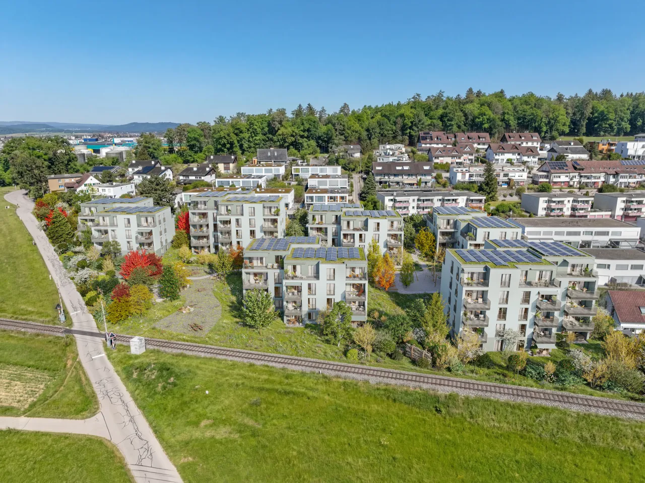
Highlight the project’s scale and surroundings. The best way to show context, infrastructure and overall appeal in one rendering.
Why Bird-Eye Visualisation
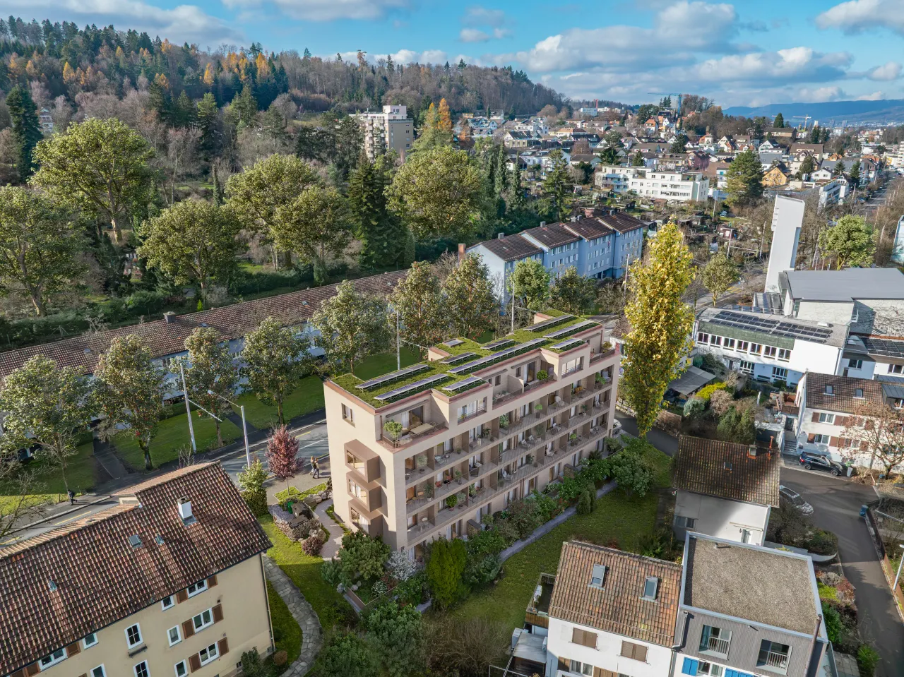
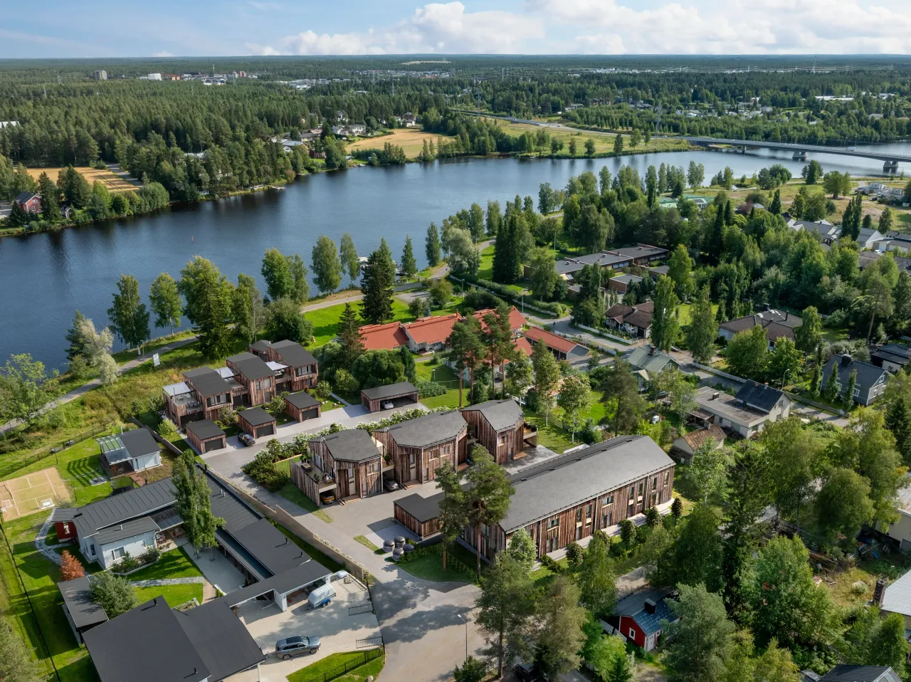
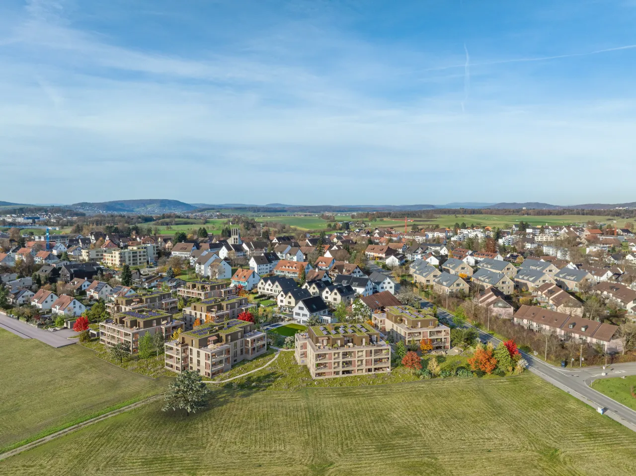
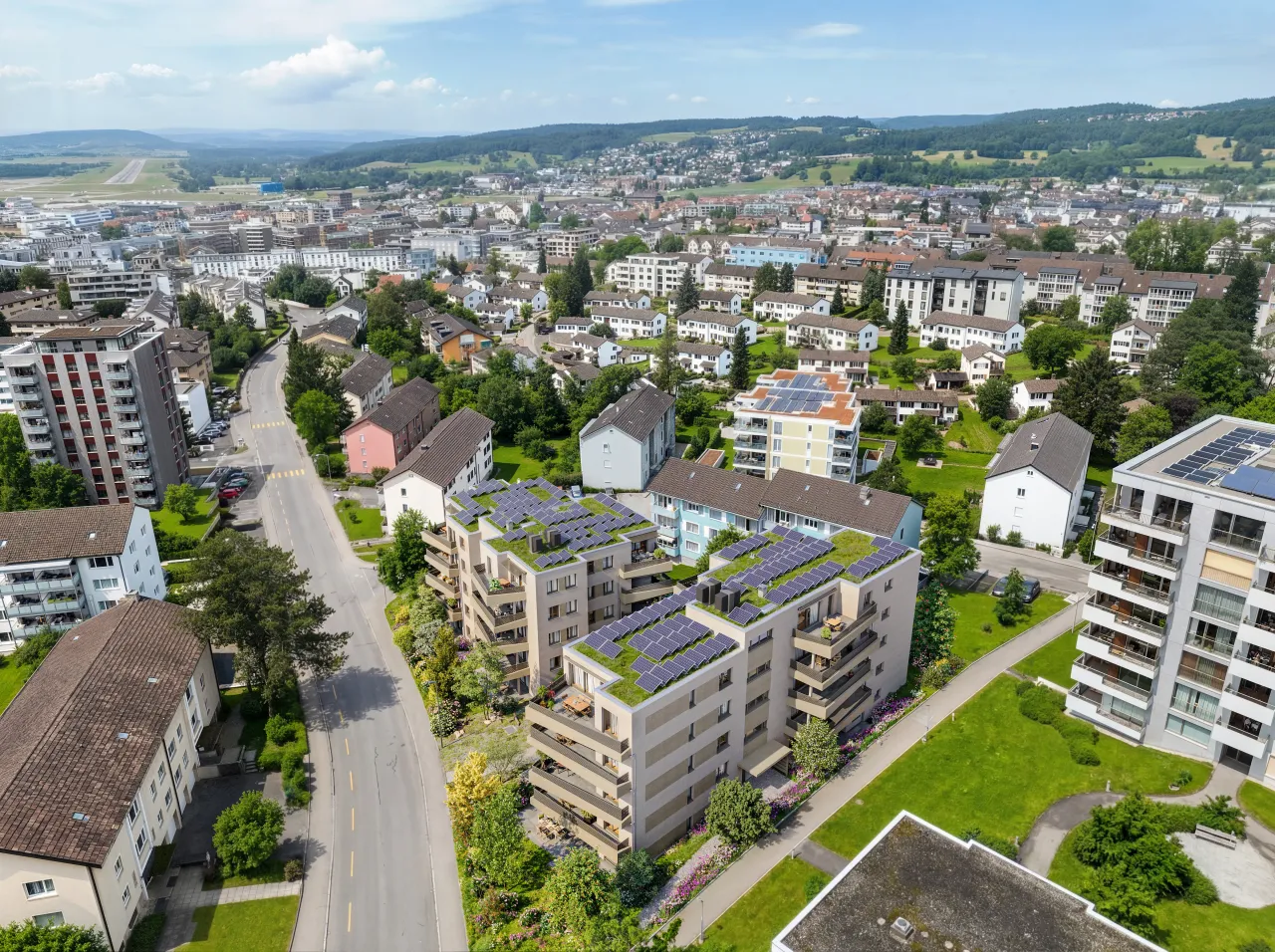
A development is bought for its location as much as its apartments: the school, the station, the lake behind the trees. The bird's-eye view is the one image that shows all of it — the project, its neighbours and the way to the tram — in a single glance.
The site plan explains nothing to a buyer
The whole project in one picture
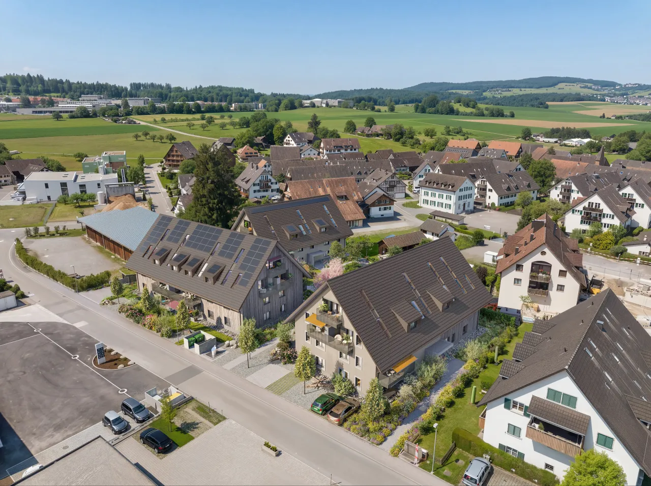
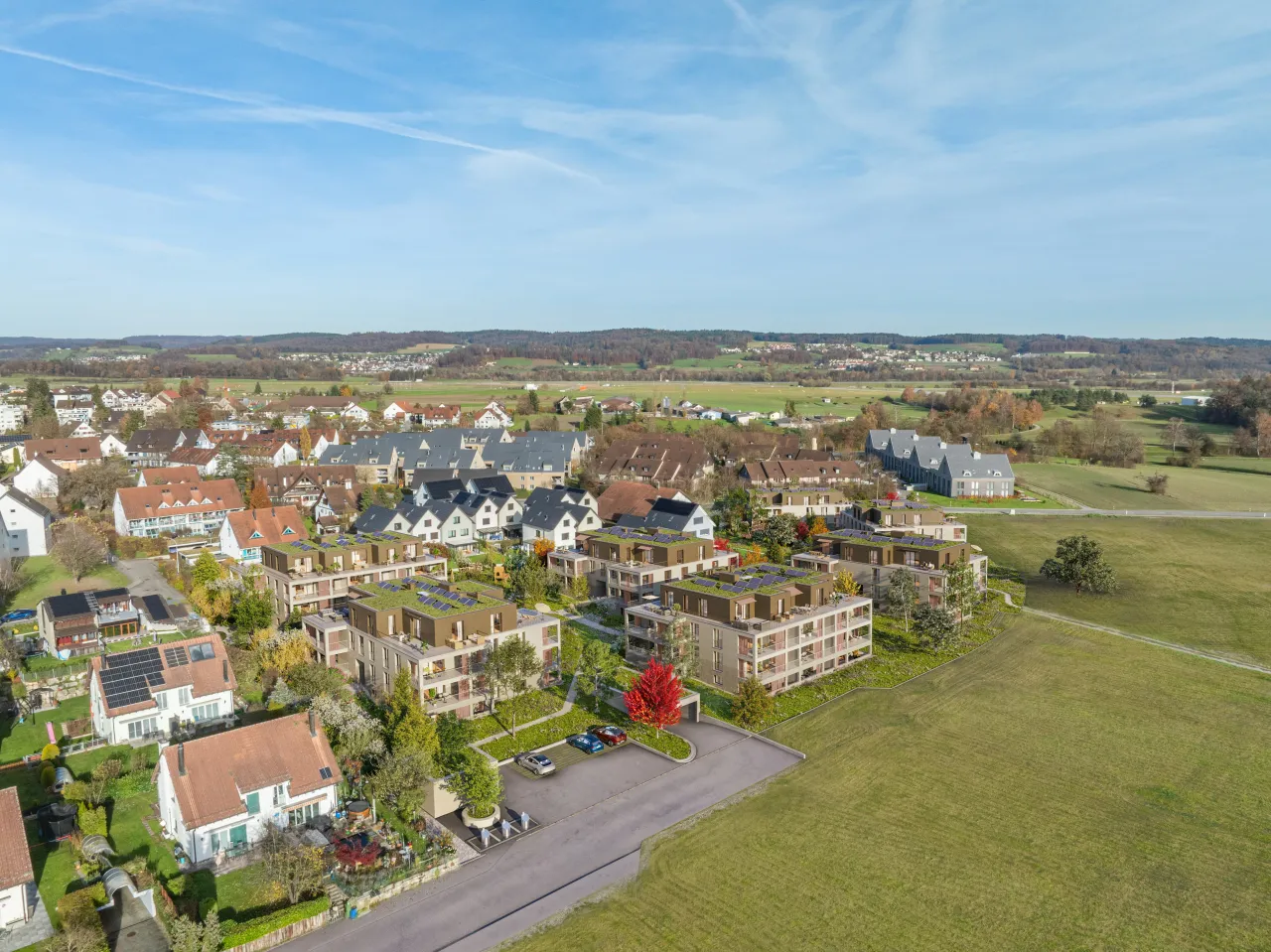
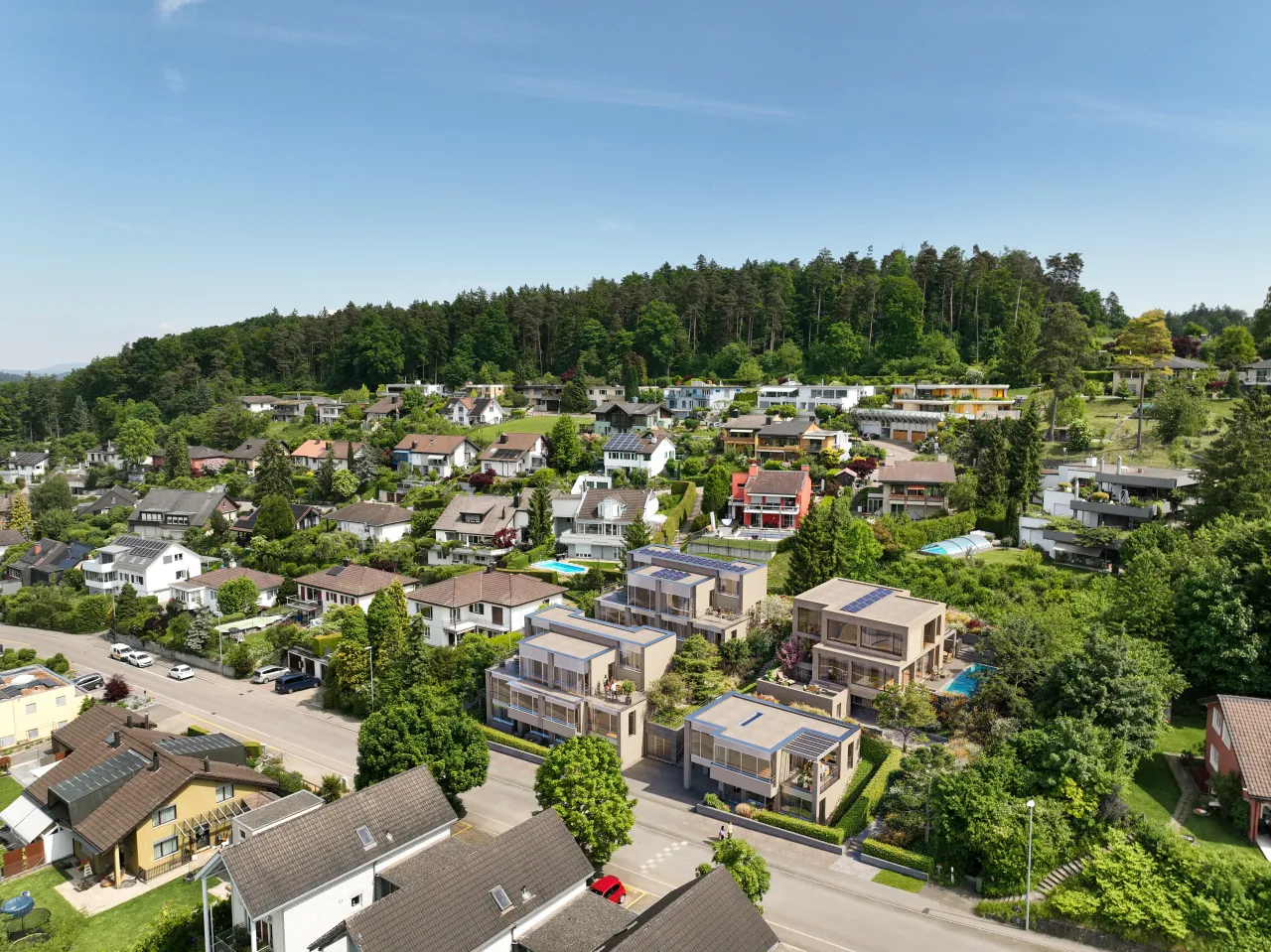
Buildings, courtyards, parking entrances, the playground: a bird's-eye view shows how the ensemble works and where each unit sits. It becomes the key visual of the brochure and the navigation image on the project website.
The surroundings are the selling point
Real context from real data
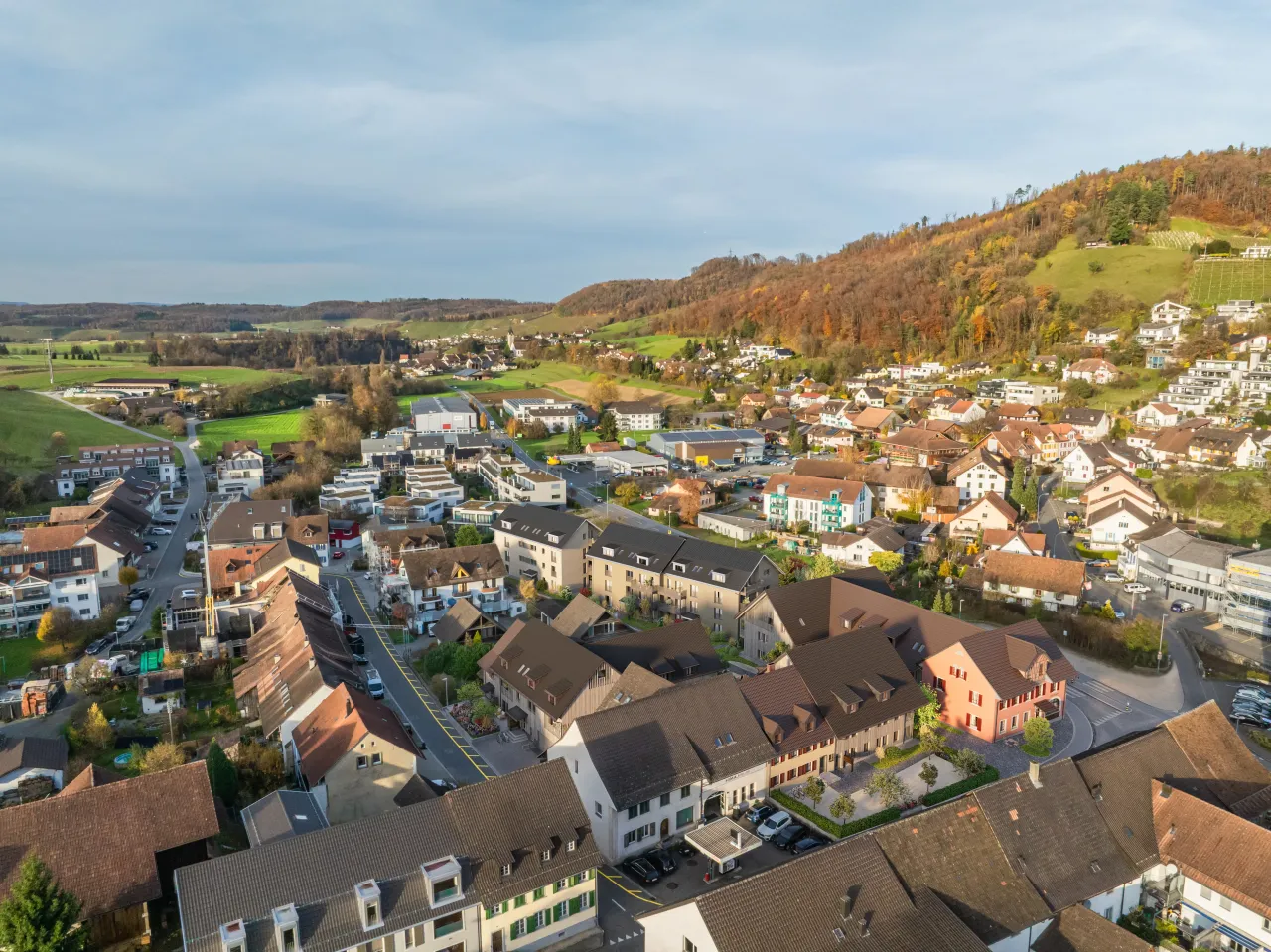
We build the terrain from the cantonal elevation model and the neighbourhood from satellite imagery and drone photos, so the lake, the forest edge and the motorway are exactly where they are — not where a brochure would like them to be.
The council needs to see the impact
An image for the hearing
For a building permit or a design competition, a neutral aerial — correct heights, correct shadows, no marketing gloss — shows the new volume in its town honestly. We deliver that version and the atmospheric one from the same model.
What you get
- Aerial views at 6K or larger, for brochure covers and billboards
- Terrain and surroundings from elevation, satellite and drone data
- Neutral version for permits and an atmospheric version for marketing
- Two rounds of revisions
- The context model reused for animation and the fly-around navigator
Selected Work
What Bird-Eye Visualisation costs
Prices exclude VAT. Every project receives a binding quote after the briefing.
Included
- Terrain and neighbourhood model
- Camera study for approval
- Two revision rounds
- 6K delivery for large-format print
7–10 working days for the first view, 3 days for each further angle
2
fromCHF 890per view
Bird-Eye Visualisation in practice
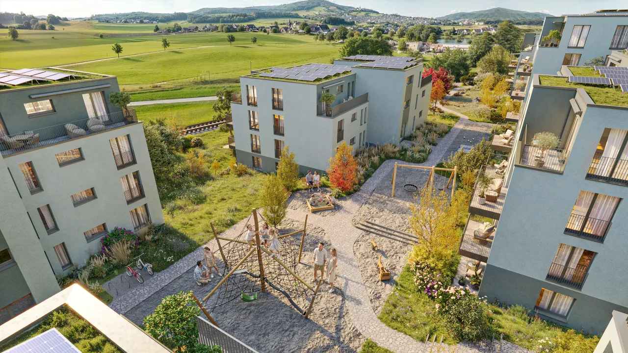
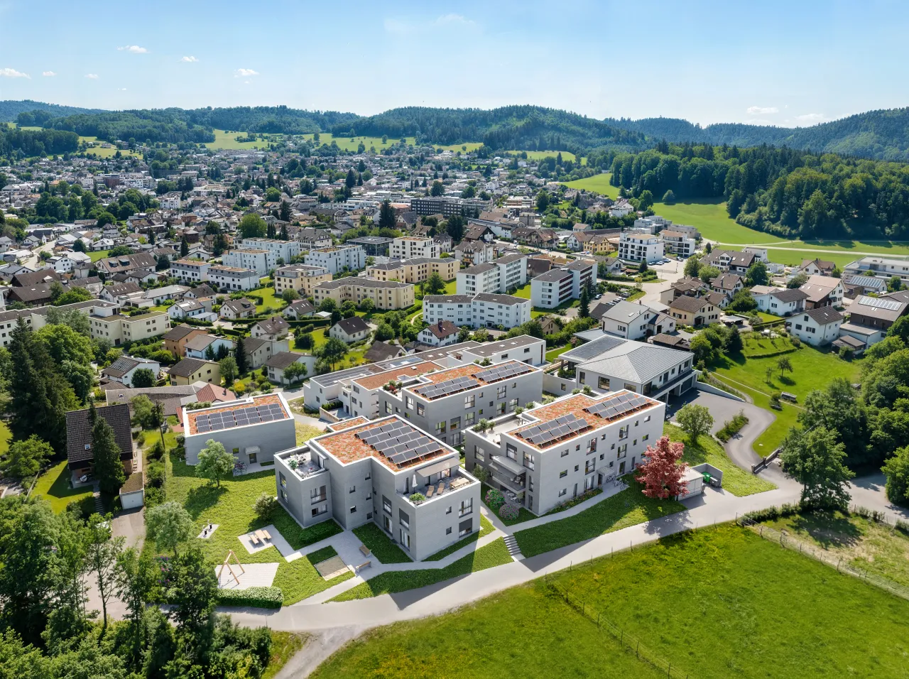
All projects →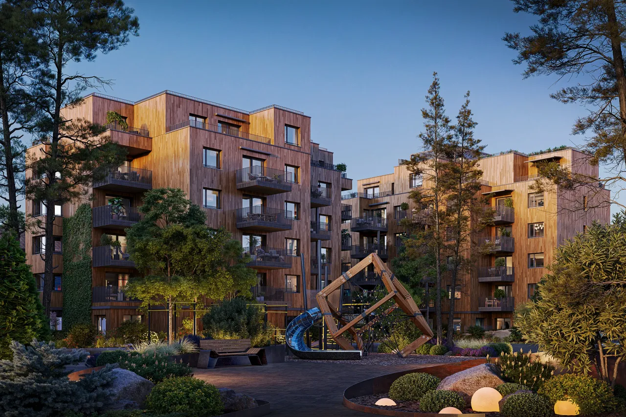 Winterthur · CH
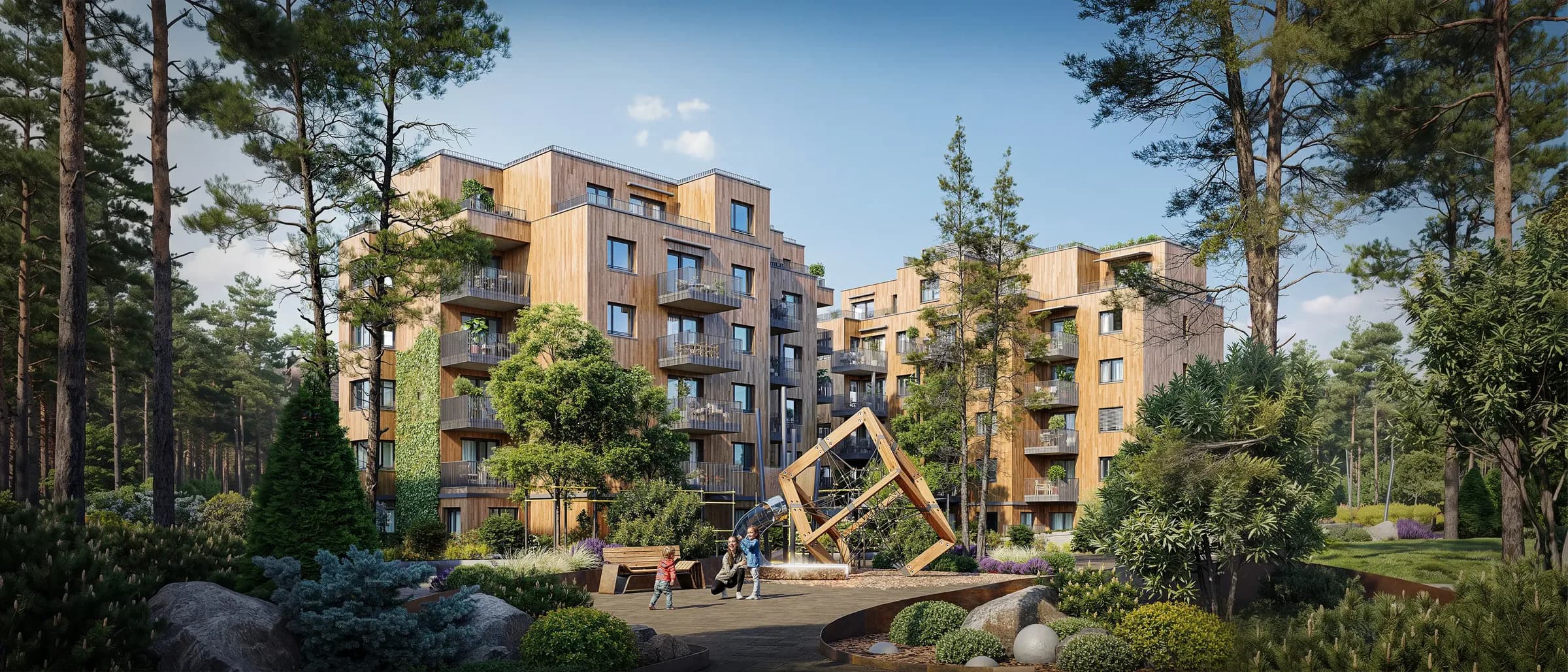
Waldpark
2026Residential development, 48 apartments
Exterior Visualization · Interior Visualization · Bird-Eye Visualisation · Animation · Web Development
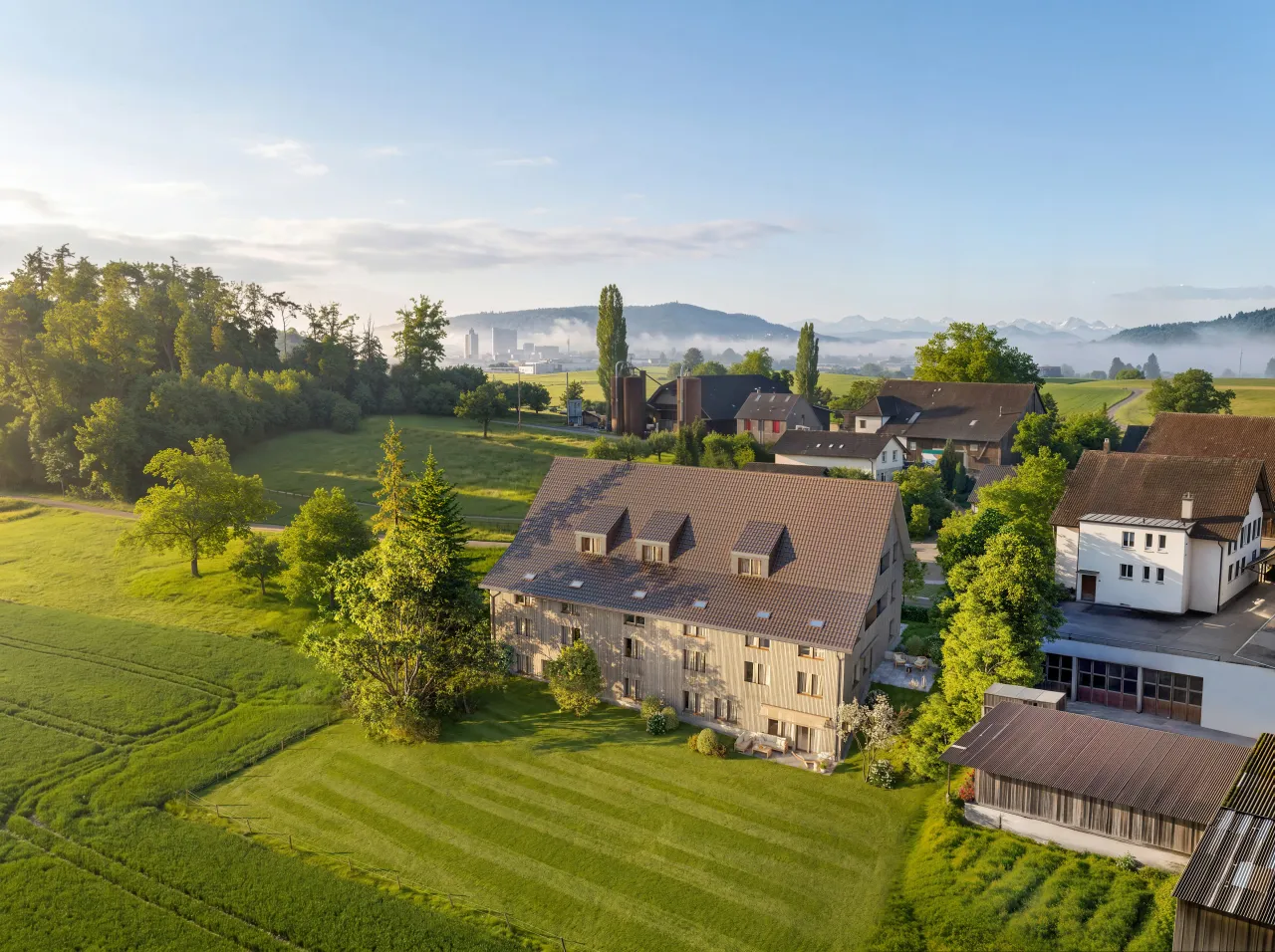
 Weinfelden · CH
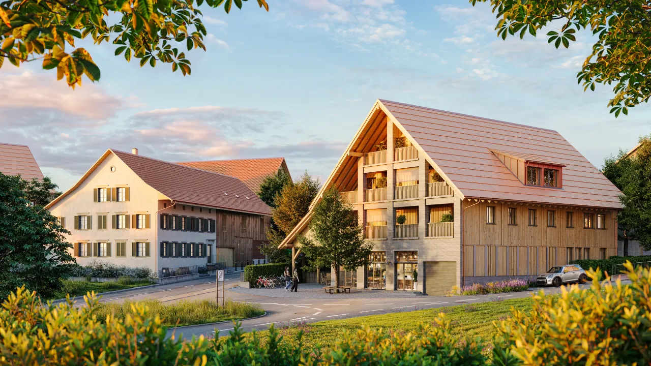
Rietacker
2025Farmhouse conversion and new barn, 9 apartments
Exterior Visualization · Bird-Eye Visualisation · Interior Visualization · Graphic Design
 Munich · DE
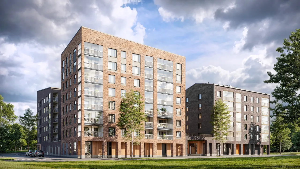
Hafenquartier
2026Urban block, 86 apartments and ground-floor retail
Exterior Visualization · Bird-Eye Visualisation · Interior Visualization · Virtual Staging · Web Development
Read more
Questions about Bird-Eye Visualisation
Does a bird's-eye visualisation need a drone flight?
Not necessarily. We can build the surroundings from satellite imagery and the cantonal elevation model. A drone photo from the planned camera position makes the result more precise and is the right choice when the surroundings carry the sale — we can arrange one.
How large can an aerial rendering be printed?
We render aerials at 6,000 pixels on the long edge as standard, enough for a construction-site billboard. Larger formats are rendered on request.
Can the aerial view's model be reused for animation and navigator?
Yes. The terrain and context model is the base for the animation's opening flight and for the 360° fly-around navigator. Ordering them together saves the context work twice over.
How long does a bird's-eye visualisation take?
Seven to ten working days for the first aerial, because the surroundings take longer than the building. Each further angle from the same model takes about three days.
Can the aerial view show unit numbers and surroundings labels?
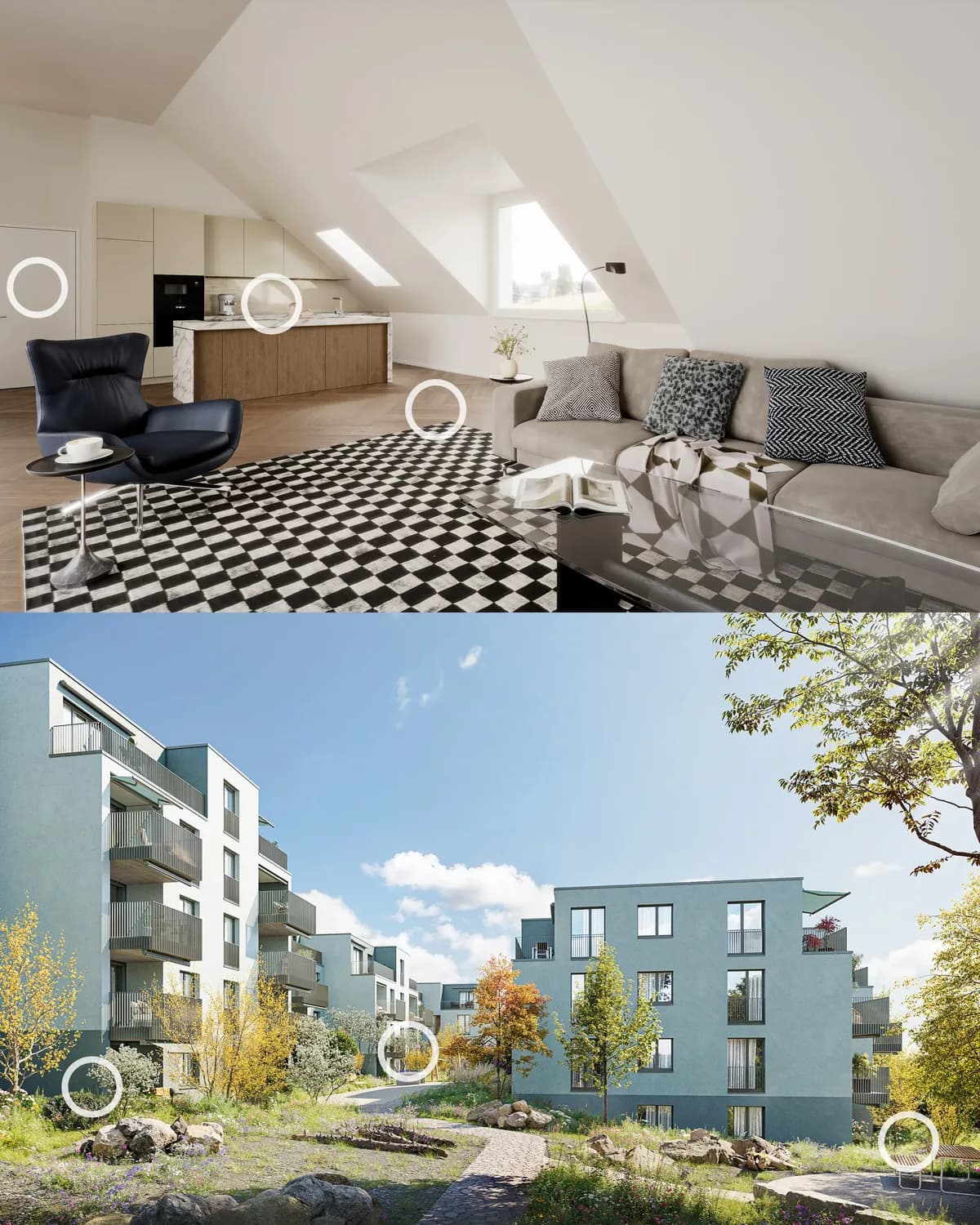
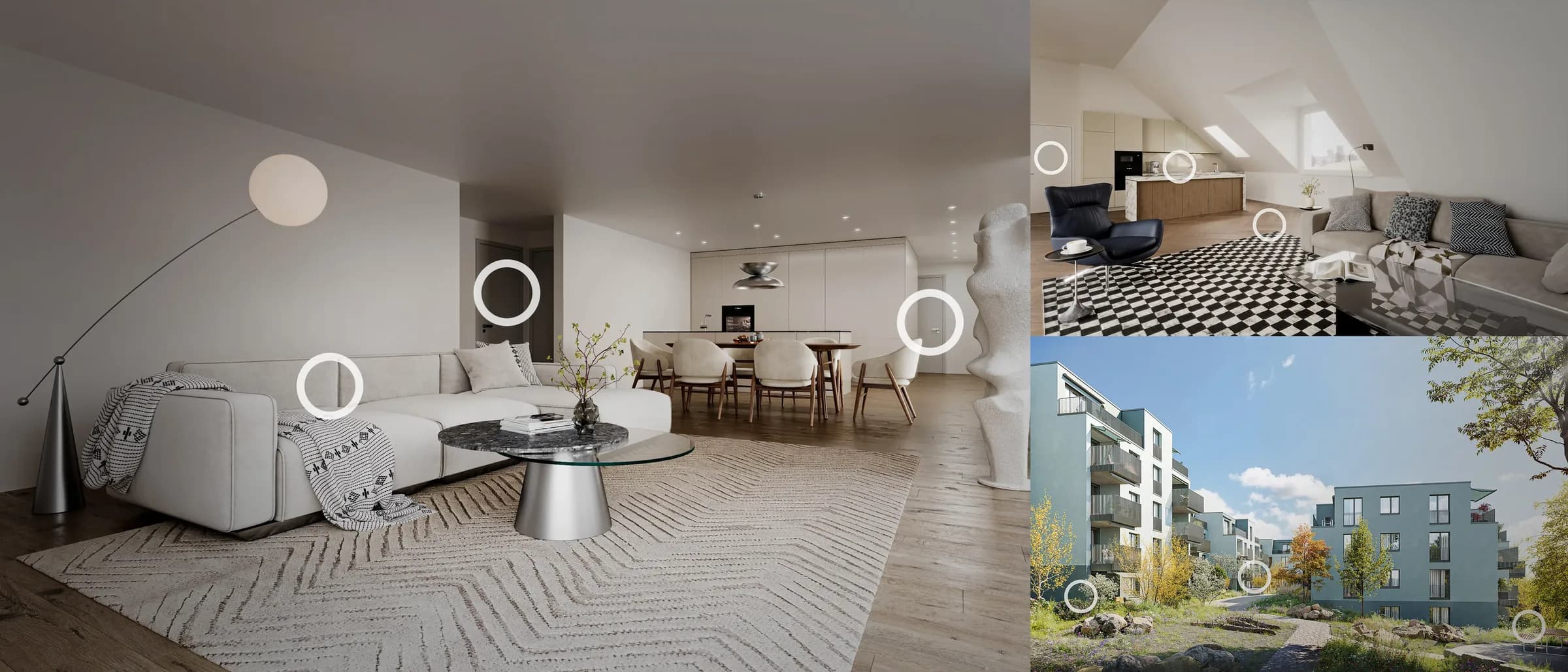
Yes. We deliver a clean image and a labelled version with unit numbers, building names or points of interest on separate layers, so your graphic team can adapt them.
Are aerial renderings accepted for Swiss building permits?
The neutral version — true heights from your plans, correct sun position for the date, no atmospheric effects — is prepared for exactly that. Several Swiss municipalities have accepted our aerials in permit documentation.